
PHOTOGRAMMETRY
what is photogrammetry?
Photogrammetry is the process of using overlapping standard RGB photos to create geo-referenced images (orthomosaics) and models of objects or landscapes. Using various techniques, we capture a large set of images over a specified area. We then process the captured data using specialised software that transforms this into accurate maps with geographic coordinates.
Deliverable outputs include geo-referenced 2D images, digital elevation models (DEM), point clouds, 3D models and ecological reports, supporting a wide range of uses such as monitoring vegetation, assessing canopy coverage, tracking water levels, and conducting general landscape studies. The integration of location and elevation data adds valuable context, helping clients analyse results more effectively and make informed decisions.
This method is not only affordable but also highly adaptable, offering a practical solution for diverse mapping and survey needs in various environments.
how it works
1. Flight Planning
Flight planning includes site risk assessments, site visit and permit applications where applicable.
We also prepare a flight mission and access so data collection runs as smoothly as possible.
2. data collection
After arriving on site, we conduct a Job Safety Assesment and ensure everything is safe and ready.
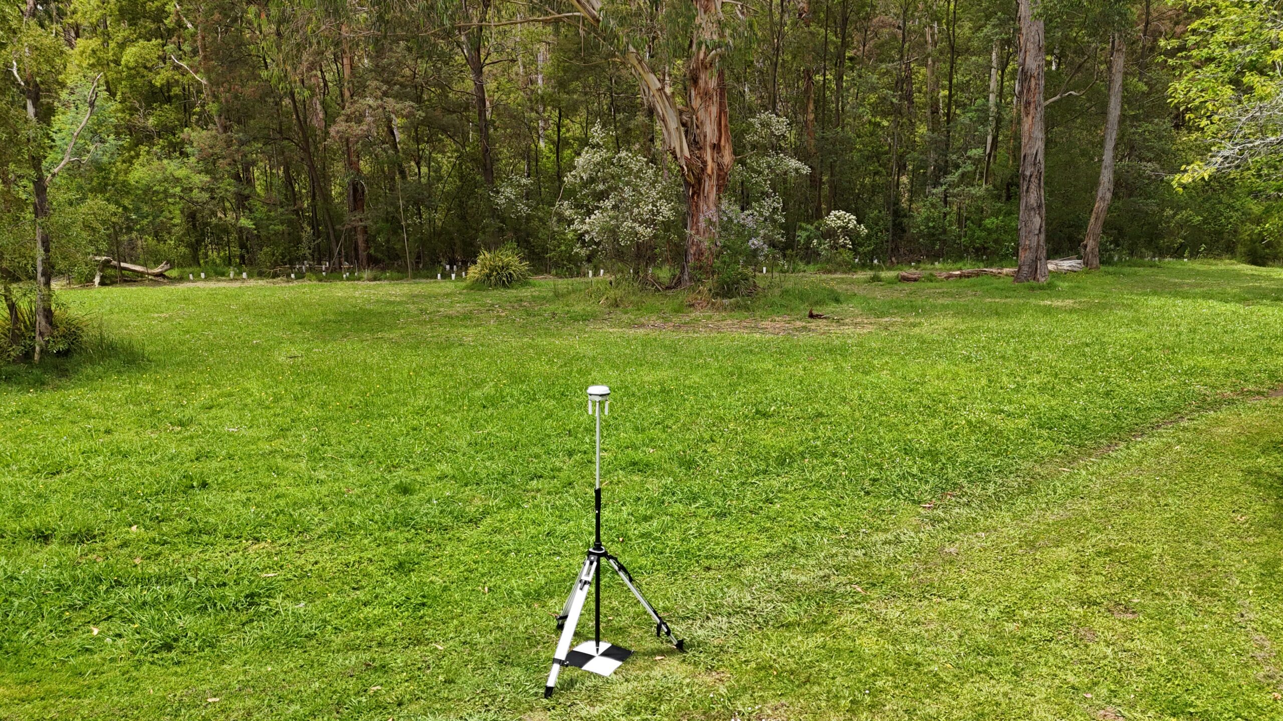
Then we set out our Ground Control Points, and begin our pre-planned flight.
3. processing
We take the images and data collected and begin processing with specialised computers and software.
The data is calibrated and various, tailored outputs are computed and generated.
4. delivery & analysis
The generated deliverables are provided to our clients, along with optional ecological analysis and reports.
Results provide valuable infortmation for our clients to make informed decisions.
ACCURACY
For highly accurate results, we use a combination of methods to provide our clients with quality data. Our drones are equipped with Real Time Kinematics (RTK), which is connected to our RTK Multifunction station during flight to correct positioning in real time.
For each project we also collect the known coordinates of Ground Control Points (GCPs) to tie the data together in the post-processing workflow.
Please note, although we can often obtain accuracy within a few centremeters, we are not professional surveyors. Results from our drone data cannot be used for legal scenarios such as property boundaries, but are beyond sufficient for most projects.
GALLERY


