SERVICES
Our services include planing, capturing and producing geo-referenced images and data catered to your requirements. The data collected from our surveys can be integrated into GIS software for in-depth landscape analysis, providing valuable insights into the survey site.
PHOTOGRAMMETRY
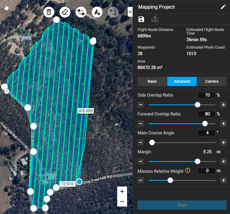
Photogrammetry is the method of producing standard RGB, geo-referenced orthomosaics (2D images). This provides current, detailed and precise visuals and data of the subject area for analysis and measurement.
These are a few common scenarios where this can be used:
– Terrain analysis
– Canopy & vegetation cover analysis
– Measuring and quantifying
– General maps
– Habitat assessments
– Water & inundation levels
– Revegetation progress
– Documents & presentations
– Impact assessments
Deliverable outputs include tif images and Digital Surface Models (DSM).
LIDAR & THERMAL IMAGING
Coming Soon!
Follow our social media to stay up to date
FREQUENTLY ASKED QUESTIONS
Can I buy a drone and do it myself?
Using a drone may seem fun and cost-effective, but it often results in inaccurate data, compliance issues, and wasted resources. Consumer drones lack RTK GPS, LiDAR, and multispectral sensors, making them unreliable. They also have limited compatibility with professional GIS software, reducing data quality. Additionally, environmental surveys require legal permits and airspace approvals, and DIY users risk fines and restricted access. Poor-quality data can lead to costly re-surveys, whereas professional drone services ensure precise, compliant and actionable insights for conservation and land management.
Do I need a permit?
Permits and permissions are sometimes required depending on the site location and airspace classification. We take care of this through our planning stage and complete all necessary applications for each job.
What are the limitations of drone surveying?
Drones offer valuable data for environmental monitoring, but they have limitations like most technology. Limitations can include weather dependence, limited battery life and range, regulatory restrictions on flight areas, and challenges capturing data beneath dense vegetation. Despite these challenges, drones remain a powerful tool when used strategically alongside other surveying methods.
What risks are involved?
Airspace in Australia is regulated by the Civil Aviation Safety Authority (CASA). We have undertaken rigorous training, flight tests, examinations and interviews as individuals and as a business. At Flying Fox Drone Solutions, we take this seriously.
We have $20m public liability insurance, and always carry on board first aid and emergency equipment. Our clients can have confidence in our high safety standards in line with CASA regulations and site-specific risk analysis and hazard mitigation.
What equipment do you have?
We own a DJI Matrice 4 Enterprise accompanied with an RTK Base Station for impeccable accuracy. We also have experience with DJI Phantom 4 and Mini 4 Pro.