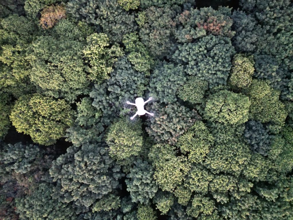
Advantages of Drone Surveying
High Quality Imagery
High resolution aerial imagery utilising 20MP cameras and 4K video.
Data Aquisition
Gather quantifiable information and identify patterns over time.
Accuracy
Precision accuracy with the assistance of RTK systems.
Repeatable
Track changes over time with repeatable flight paths.
Time Saving
Incredibly fast and efficient compared to traditional on-foot surveying.
Safety
Survey difficult terrain too dangerous for on-foot surveying teams.